O28 Ells Field/Willits Municipal Airport v1.2
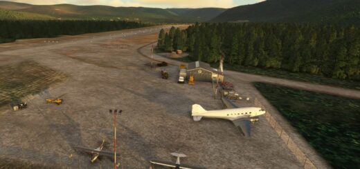
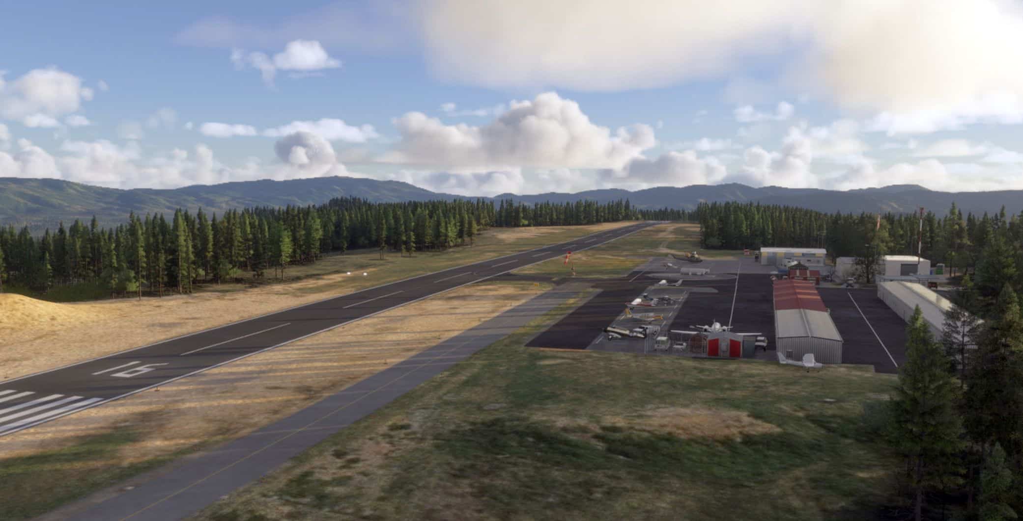
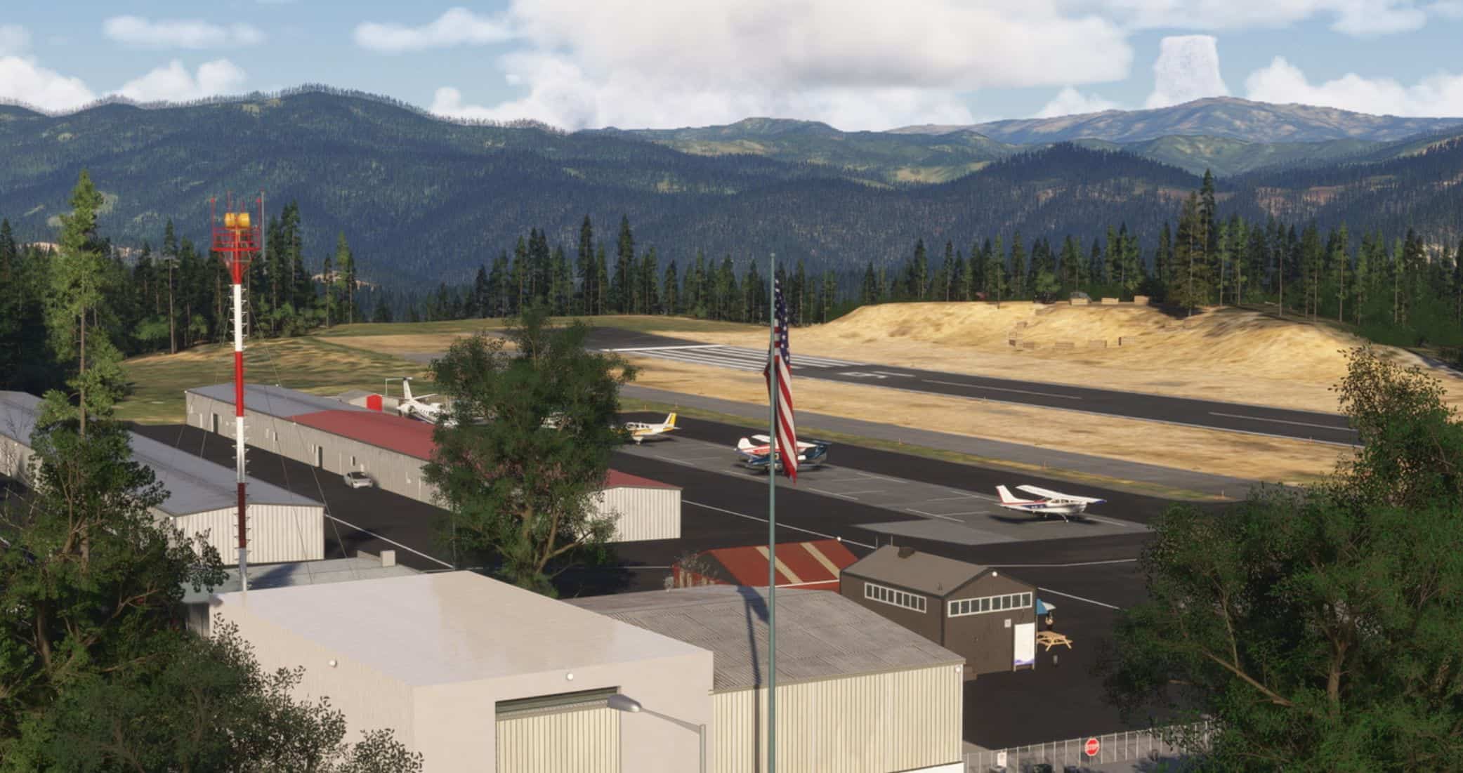
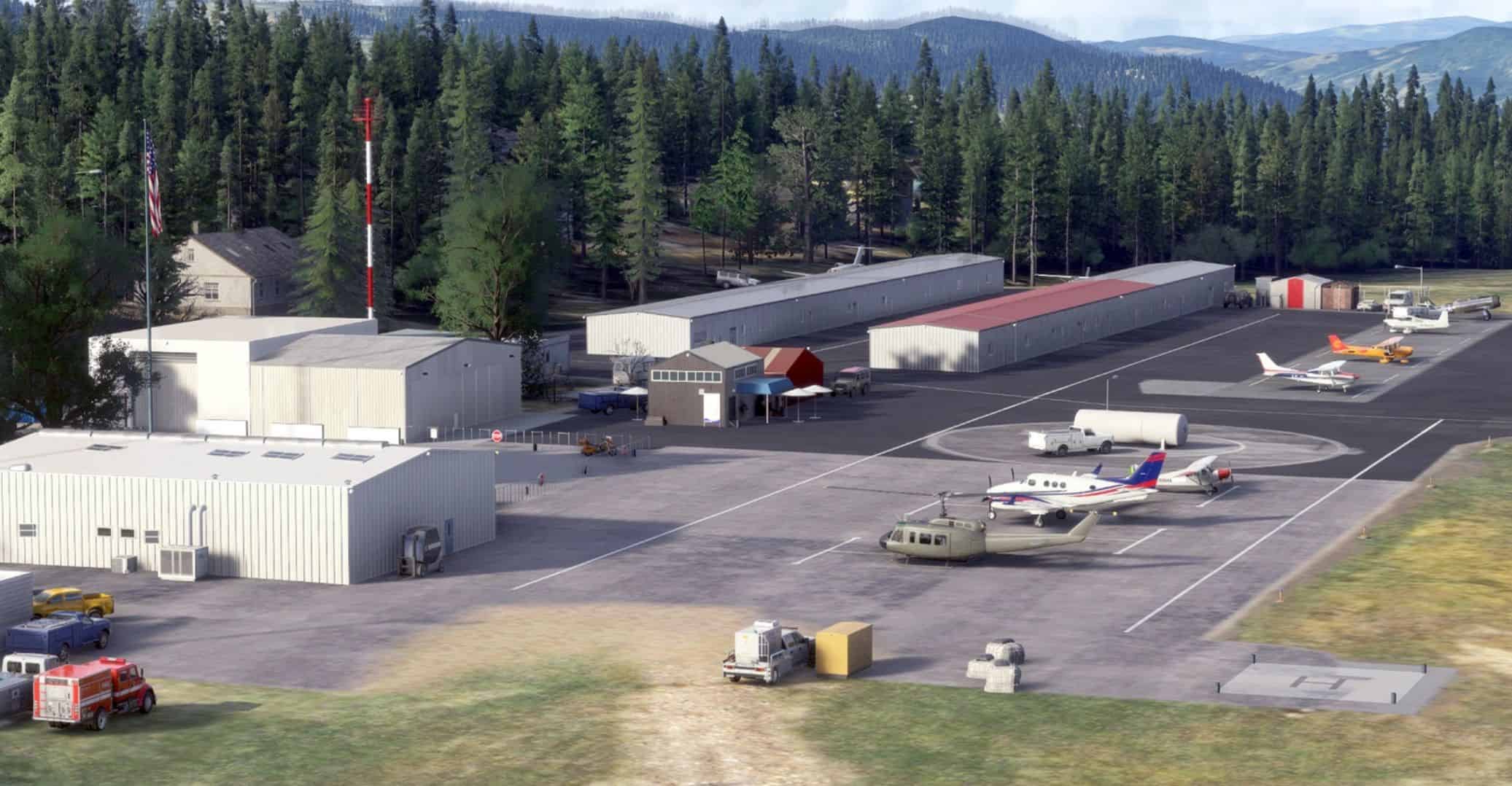
Ells Field (O28) is owned and operated by the City of Willits, California. It is known as the “Runway to the Redwoods and the Sea.”
Located on the mountain plateau three miles northwest of the City of Willits, about 120 nautical miles north of San Francisco on Highway 101 at Highway 20.
Runway 16/34
Dimensions: 2,705 × 75 ft (824 × 23 m)
Weight Bearing Cap: Single wheel: 30,000 lbs
Helipad SE corner.
Surface:
asphalt, no surface treatment, in good condition.
Runway Edge Lights:Medium.
Designator: 16 34
Elevation: 2,065.9 ft
Heading: 159° magnetic 175° true 339° magnetic 355° true
Gradient: 1.39% down 1.39% up
Pattern Alt: 1000 feet.
Runway 16: Primary takeoff, downslope, left pattern
Runway 34: Primary landing, upslope, right pattern
CTAF/Unicom: 122.8 mhz – runway lights and PAPI (3/5/7 clicks)
24-hour self-service Phillips 66 100LL at $5.76/gal
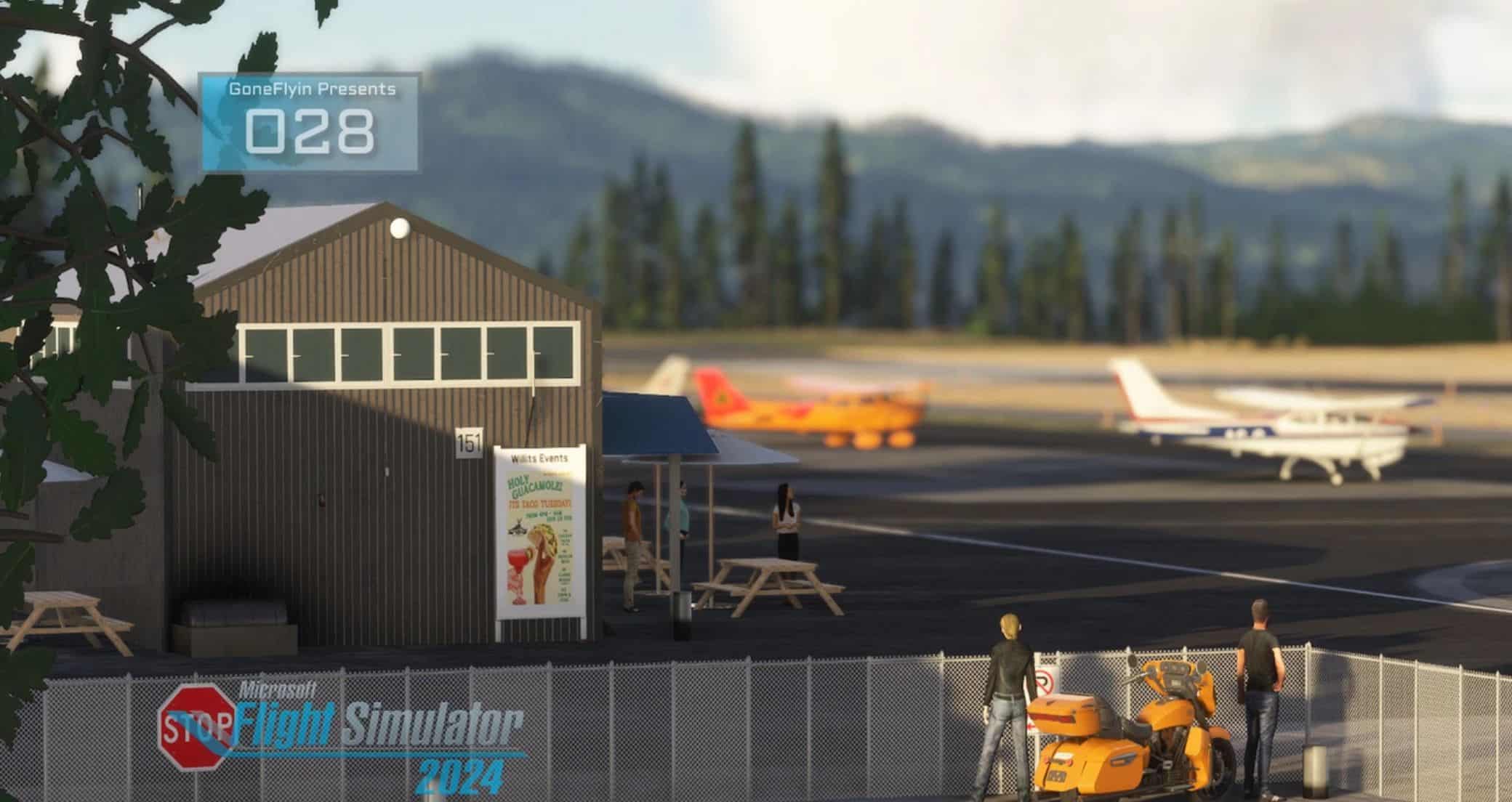
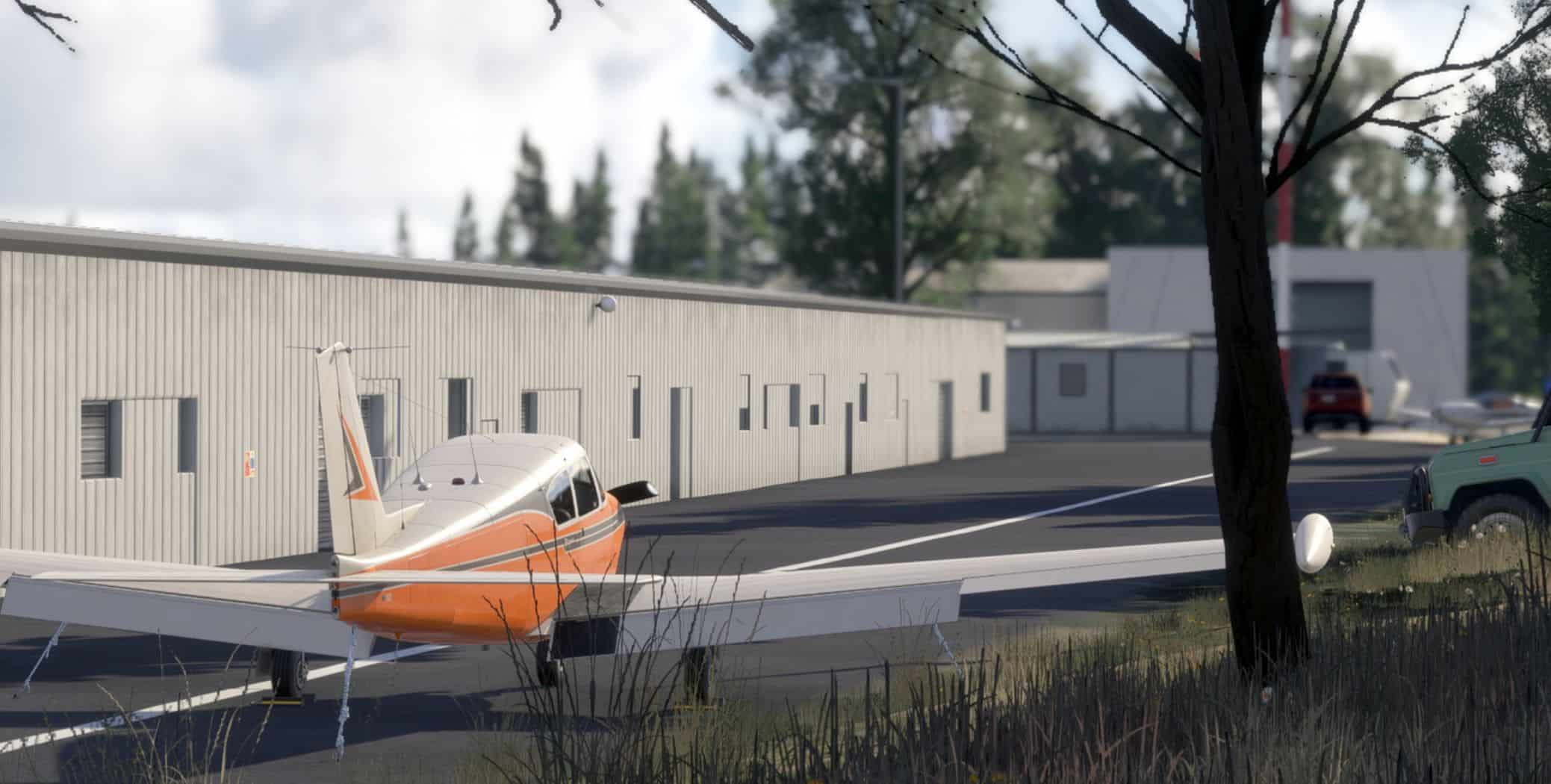
Other amenities: Tiedowns ($7 per night), pay phone, pilot lounge and pilot pavilion
Markings: non-precision, in Good condition
Approach Lighting: Med edge
Visual glide slope: 2-Light/Left-Side PAPI2
Displaced Threshold:
Obstructions:
Trees, 80 ft Right ft of center, 11 ft high, 240 ft from end, 3:1 clearance slope
Trees, 200 ft Right ft of center, 38 ft high, 1,000 ft from end, 21:1 clearance slope.
I thought Id do a smaller airport to help my frustration with Hollister. Didnt work, lol. My experience with this airport can be summed up in the following sentence, “they never told me it was on a mountain.” I havent been there in quite some time and so relied more on Google than my memory. I was just about done and realized that google street view went pretty deep into the airport to I clicked the last one and lo and behold a new hangar was built and one lil bulding I battleed with for hours was no longer needed, lol. Anyway I had to take some creative license because all the google maps pics to see behind didnt have the hangar at all. Its luck its there at all.