FS2004 GPS Map View v2.0

MSFS2020 Addons |
FS2004 GPS Map View v2.0

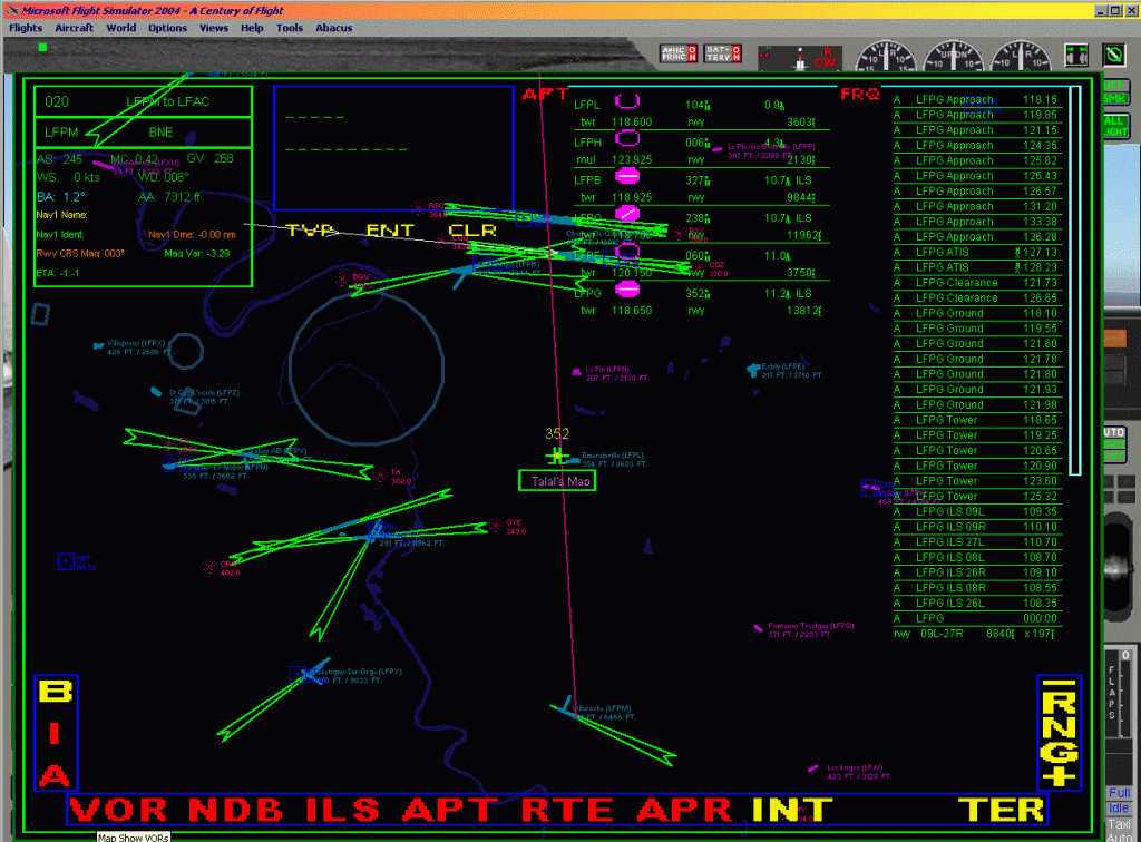
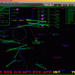
FS2004 GPS Map View v2.0 The ultimate gauge. The Map will show: Airports details (Runways ID’s, length & ILS), VOR’s and NDB’s frequencies, Intersections and waypoints, Airspaces, Approaches and flight routes. You can toggle the view you require for your flight. Also you can zoom in/out to see the nearest airports, vor’s and ndb’s. The map will indicate A/C heading flightplan title and waypoints ID’s. Version 2 includes more enhancements such as the ability to input the ICAO code of any airport and the map will show all the frequencies of that airport including ATIS, ILS, AND COM. In addition, the map will show the active runway designations, length and width. The Desert Jockey Copyright 2005, Talal A Alhaj. 249K

Author: archive
This content was uploaded by website visitors. If you notice any mistake, please let us know.


Are you looking for FS Gauges Mods at one place? Then you have landed in the right place. If you have already chosen the file, click on Mod download button and follow the instructions. It’s as easy and simple as possible! FS2004 GPS Map View v2.0 Mod could be a great boost to your game and there are no reasons why to react negatively. Take the best that you can and don’t look back – you must be orientated to the future and new experiences.


Download


Useful Information:
- How to install Microsoft Flight Simulator 2020 Mods
- Microsoft Flight Simulator 2020 System Requirements
- Microsoft Flight Simulator 2020 Multiplayer
- Microsoft Flight Simulator 2020 VR
- Microsoft Flight Simulator 2020 Price
- Microsoft Flight Simulator 2020 Release Date

You may also like...

Leave a Reply

Your email address will not be published. Required fields are marked *