


Bardufoss Scenery Pack v1.0
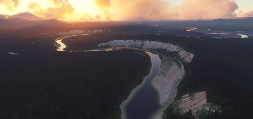
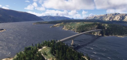
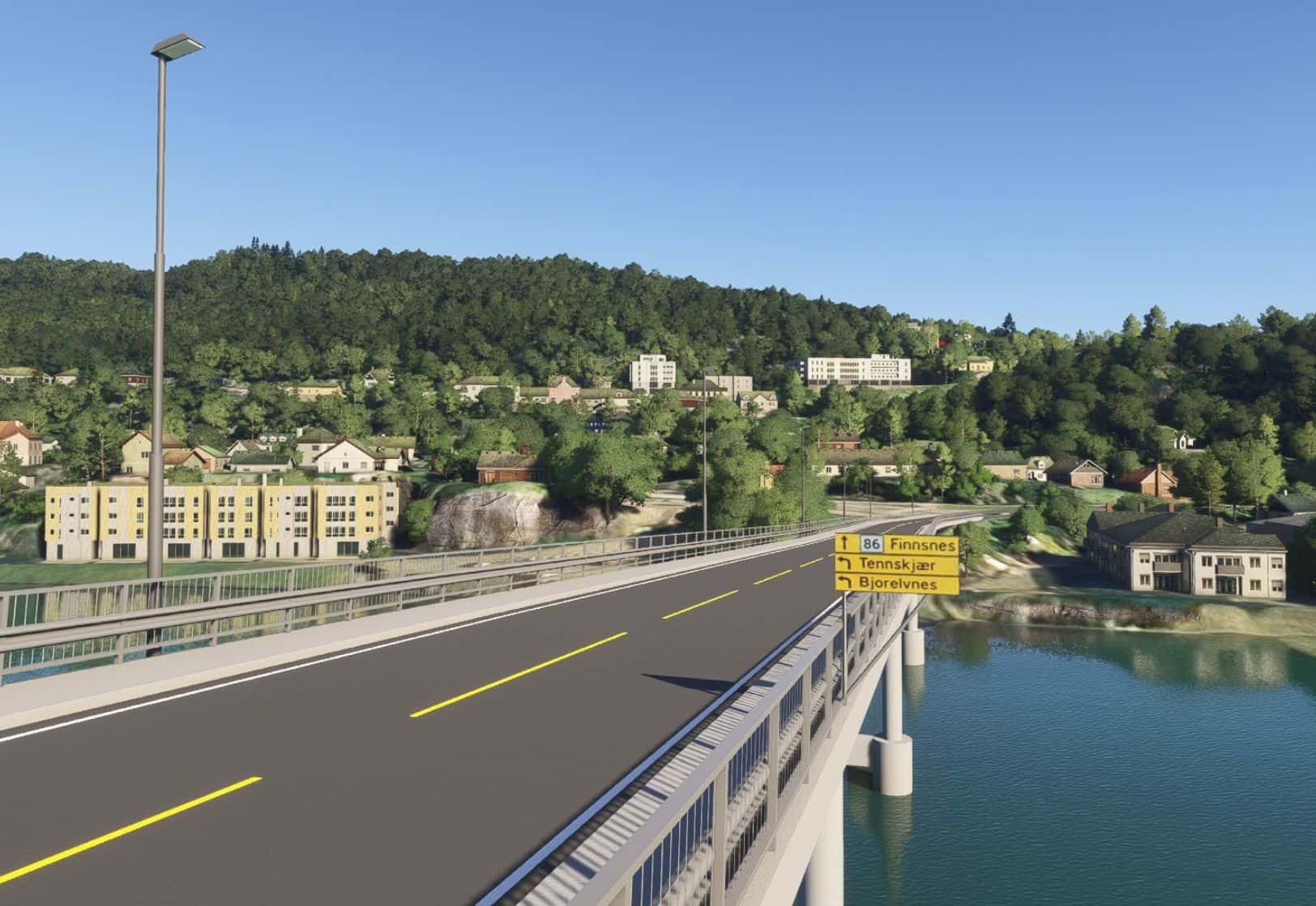
This package contains Gisundet bridge and all maritime navigational marks/lights in the Gisund channel (from Sørreisa in the south to Malangen in the north). Gisundet bridge can be seen on the left hand side when approacing Bardufoss RWY 10. The scenery was originally made for MSFS 2020, but this is the MSFS 2024 version of the same scenery. Some models have been improved visually compared to the 2020 version and all models have gotten several LODs for better simulator performance.
The following can be read about the bridge on Wikipedia:
“Gisund Bridge (Norwegian: Gisundbrua) is a cantilever road bridge on Norwegian County Road 86 in Senja Municipality in Troms county, Norway. The bridge crosses the Gisundet strait from the town of Finnsnes on the mainland to the village of Silsand on the island of Senja. The 1,147-metre-long (3,763 ft) bridge has 25 spans, the main span being 143 metres (469 ft) long. The maximum clearance to the sea below the bridge is 41 metres (135 ft). Gisund Bridge was opened on 23 June 1972.”
Installation:
Make sure to delete earlier versions if installed. Then, just unpack .zip file and drag scenery folder into the community folder.