Orléans City v1.0
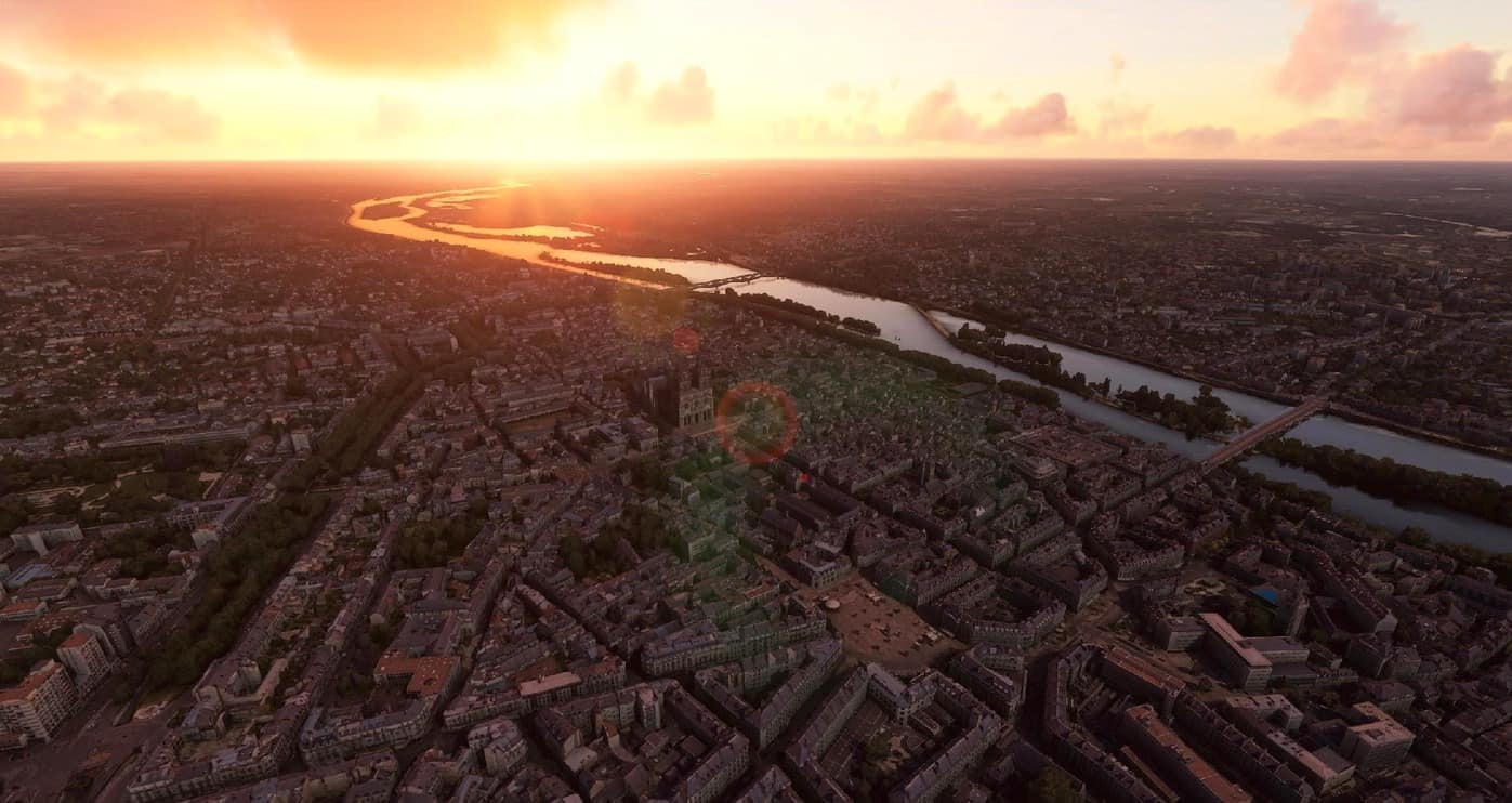
Orléans is a prefecture and commune in north-central France, about 120 kilometres (74 miles) southwest of Paris. It is the capital of the Loiret department and of the Centre-Val de Loire region.
Orléans is located on the Loire River where the river curves south towards the Massif Central. In 2017, the city had 116,685 inhabitants within its municipal boundaries. Orléans is the center of Orléans Métropole that has a population of 286,257, the 20th largest in France. The largest metropolitan area has a population of 444,681.
Île d’Orléans in Quebec, Canada is named after Orleans in France as well as New Orleans, Louisiana. (French: La Nouvelle-Orléans)
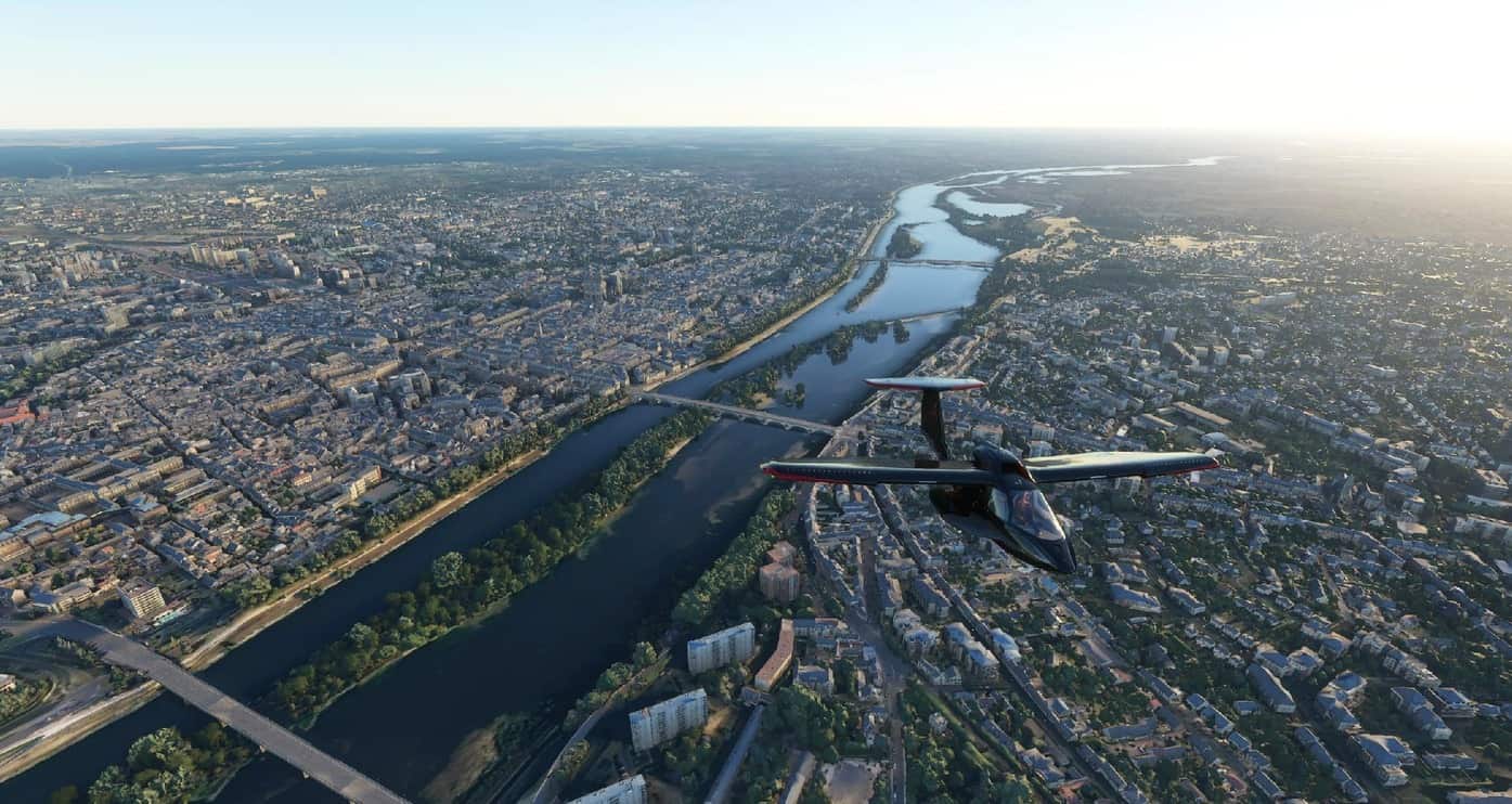
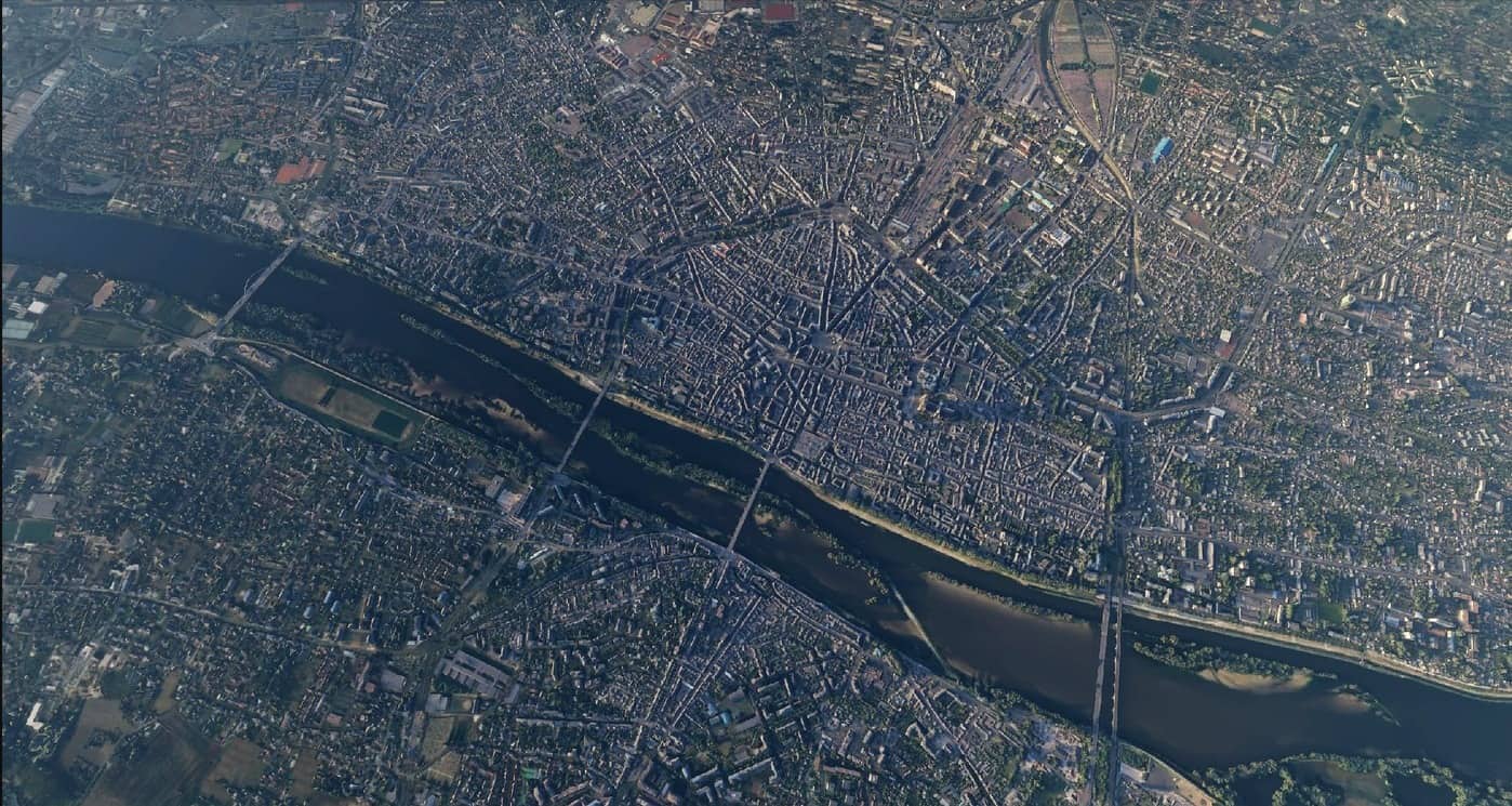
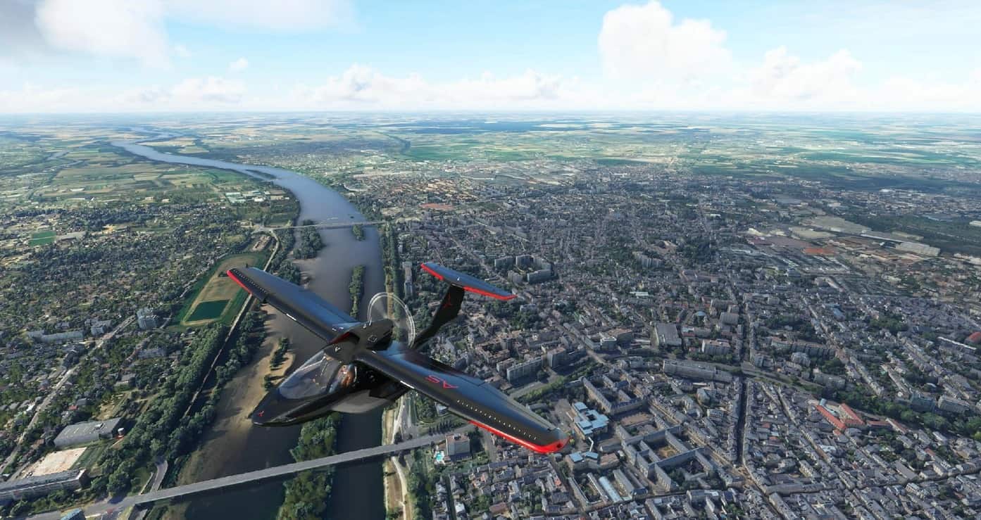
Orléans is located in the northern bend of the Loire, which crosses from east to west. Orléans belongs to the vallée de la Loire sector between Sully-sur-Loire and Chalonnes-sur-Loire, which was in 2000 inscribed by UNESCO as a World Heritage Site. The capital of Orléanais, 120 kilometres southwest of Paris, is bordered to the north by the Beauce region, more specifically the Orléans Forest (French: forêt d’Orléans) and Orléans-la-Source neighbourhood, and the Sologne region to the south.
Five bridges in the city cross the Loire River: Pont de l’Europe, Pont du Maréchal Joffre (also called Pont Neuf), Pont George-V (also called Pont Royal, carrying the commune tramway), Pont René-Thinat and Pont de Vierzon (rail bridge).
To the north of the Loire (rive droite) is to be found a small hill (102 m (335 ft) at the pont Georges-V, 110 m (360 ft) at the Place du Martroi) which gently rises to 125 m (410 ft) at la Croix Fleury, at the limits of Fleury-les-Aubrais. Conversely, the south (on the rive gauche) has a gentle depression to about 95 m (312 ft) above sea level (at Saint-Marceau) between the Loire and the Loiret, designated a “zone inondable” (flood-risk zone).
At the end of the 1960s, the Orléans-la-Source neighbourhood was created, 12 kilometres (7 mi)to the south of the original commune and separated from it by the Val d’Orléans and the Loiret River (whose source is in the Parc Floral de la Source). This quarter’s altitude varies from about 100 to 110 m (330 to 360 ft).
GPS: 47° 54′ 9″ N, 1° 54′ 32.4″ E


Hello,
Living Orléans I was enthusiastic by this mod. Unfortunately still no cathedral 🙁
SL