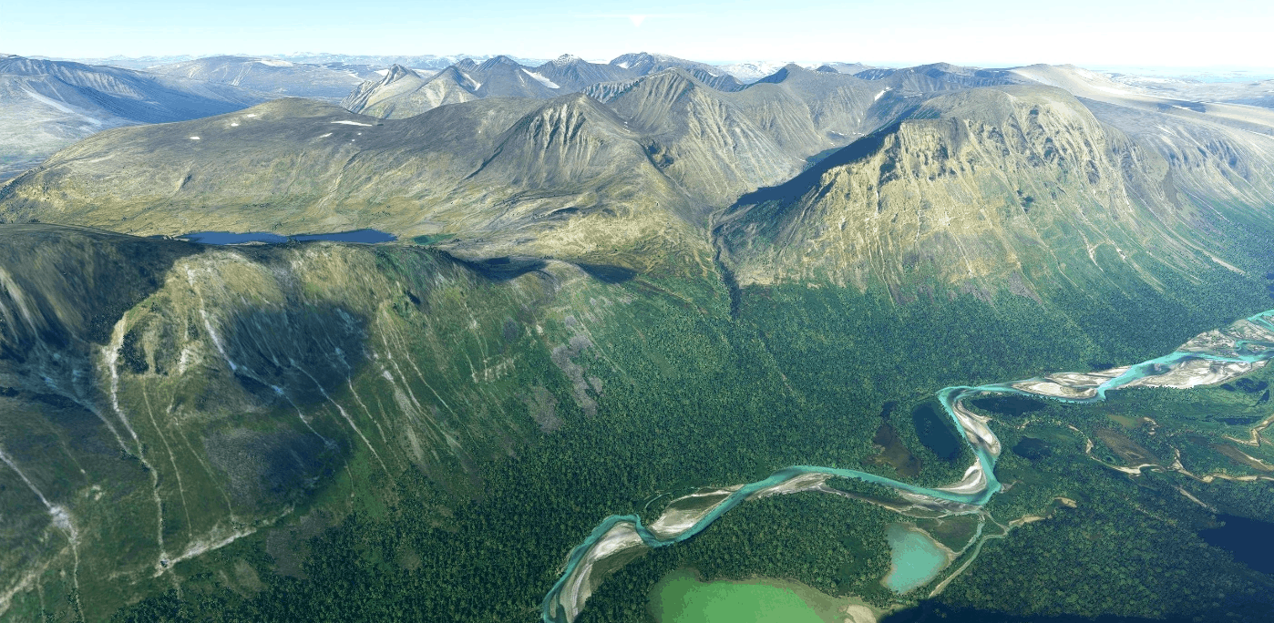
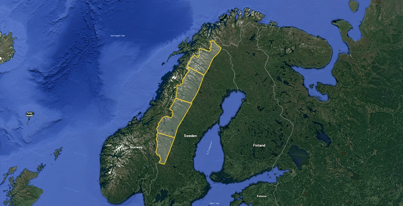
Swedish Scandinavian Mountains 50m DEM – High Resolution Terrain Elevation Data from LIDAR Imaging v2.0
Experience Sweden!
This mod contains customized height profiles for Sweden. The mod contains high definition LIDAR DEM data with a mesh resolution of 50m. The height resolution is as good as 0.1m.
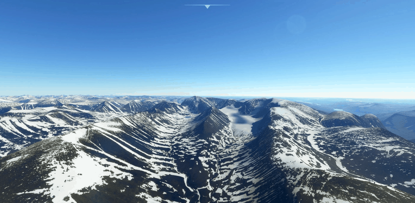
The mod does not only provide mountain shapes being very close to reality, but also flattens lakes & rivers and gets rid of any terrain artifacts. Unfortunately other higher resolution mesh is available but there are issues with the data causing large flat spots and holes in the ground. Hopefully that data can be cleaned in the future by the maintainer! I don’t know how!
INSTALLATION
Just unzip the downloaded file and place the unzipped file into your community file.
IMPORTANT
Disclaimer: The creator of this mod is not responsible for any problems, damage, incompatibilites to other mods or performance issues that might occur.
Please note, that this mod is a high resolution mesh covering sections of Sweden. The elevation data is applied through terraforming rectangles, thus loaded at a certain distance from the player. When travelling fast or at high altitude (wide range of view) there might be too many new rectangles loaded simultaneously and thus stutters might occur.
If you have any stutters you can try and reduce your ingame render settings or uninstall!
If you are mainly flying airliners in high altitude, there is probably no benefit for you in using this mod.
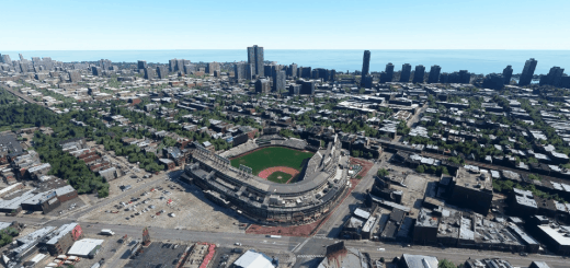
Affected Sceneries
Please report any bugs with sceneries or airports and I will see what I can do!
Credits
The elevation data used was a LIDAR 50m height profile of Sweden compiled by Sonny (https://data.opendataportal.at/dataset/dtm-sweden)
It was then transfered into MSFS using MSFS Toolkit by Nool Aerosystems (https://msfs.nool.ee/)
Thank you both and for anyone reading this: Please go ahead and support them!
Thank you Troglodytus for your help!
Enjoy your VFR flights above Sweden!
GPS Coordinates: 64.7773969, 19.4577324